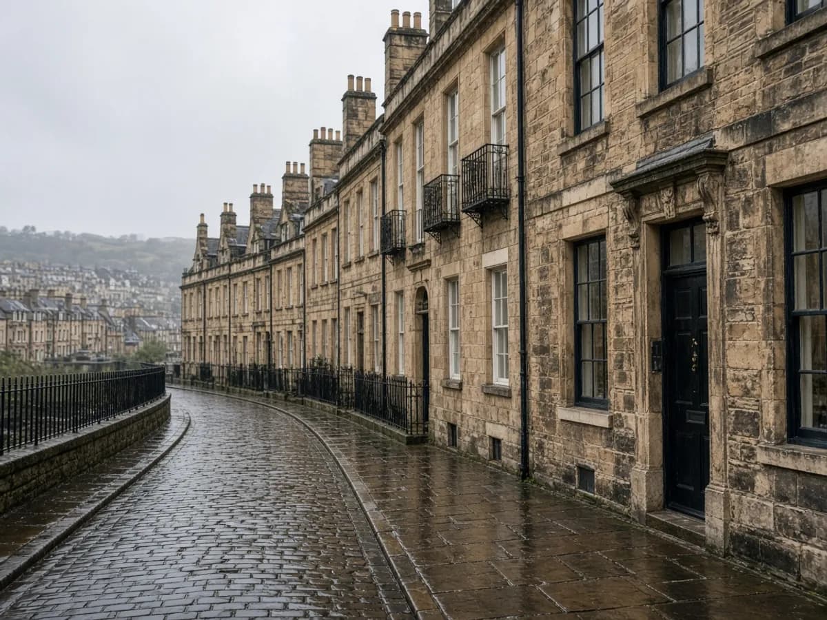
Extensions fail in the first metre outside the back wall. Conversions fail where a new floor meets a garden that was surveyed by someone else, on a different grid, in a different year. Combining a topographical survey and a measured building survey is not a package for the sake of a discount. It is one control network for land and fabric.
What “one control network” means
Door thresholds, external cills, eaves and garden spots share a datum. The kitchen floor and the patio are allowed to disagree with each other — buildings settle, gardens get raised — but they are not allowed to disagree because two surveyors invented two origins. GNSS and a total station, used as in the control note, are how that happens on a UK site.
If you later add a roof model, that too should sit on the same stations. Three pretty folders are not a dataset.
When the combination is mandatory
Rear infills in London, mill conversions in Manchester, warehouse-to-workspace jobs in Digbeth, tenement backs in Glasgow. Any brief that mentions a threshold, a damp course or a neighbour’s ridge. Planning packs that will travel via the Planning Portal still need existing elevations that match a visit.
When you can skip one half
A field with no building does not need floor plans. An internal refit that will never touch the garden might skip the topo — until someone mentions a new door onto a yard they have not measured. Be honest about the next six months, not just this week’s drawing issue.
Deliverables stay ordinary: CAD and PDF, plus a cloud if we scanned. Read formats before you invent a BIM requirement that nobody will federate. RICS measured-survey practice is the tone, not a logo we will watermark onto your sheet.
Thresholds, damp courses and the first metre
Write the threshold level on the drawing. Write the external ground next to it. If they differ, that is information, not a mistake. Designers who ignore the difference invent a step or a flood. Building-control officers who walk the job will see it anyway.
Party walls and neighbour ridges live in that same metre. A building-only survey that stops at the plaster leaves the designer guessing about a garden they will later pave. A land-only survey that treats the house as a box leaves them guessing about a floor they will later extend.
Programme without two vans on two Tuesdays
One visit is cheaper when the same people can hold both briefs. Occupied houses still need a room plan. Live warehouses still need a yard plan. Tell us the timetable so we do not book the scanner on the day the kitchen is being fitted. The visit checklist applies twice.
If you only have budget for one half this month, start with the half that unlocks planning. That is usually the land for a new footprint and the fabric for a loft. Then come back for the other half on the same control before anyone sets out.
A last pass before you hit send
If a door will meet a garden, buy both halves. If a loft will never see a patio, you may skip the land until someone mentions a new door. One control network is the discipline. Two vans on two Tuesdays is the expensive version of the same idea.
If you want the product rather than the essay, start at topographical surveys or the contact form. The phone and inbox on this site are temporary; the brief you type is the reliable object.