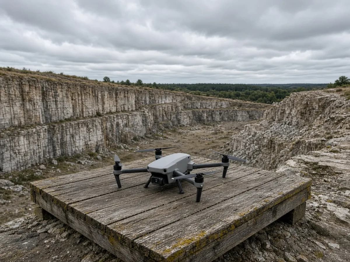
Aerial mapping is sold as a personality. It is a tool. On the right UK site it saves days and shows a shape no walking grid will catch. On the wrong site it adds airspace risk and a pretty surface that misses the fence you actually care about.
Commission one when the ground is the problem
Large clearances, stockpiles, roofs, live yards and quarry edges are the honest list. A Birmingham demolition plate, a Clyde shelf you should not walk, a mill roof in Leeds — those are drone conversations. The product is usually an orthophoto, a dense surface and a CAD or GIS extract that matches the rest of the drone survey brief.
Do not commission one because you liked a fly-through on someone else’s website. A two-metre-wide London garden with a closed canopy will give you a model of leaves. A neighbour dispute about a post line still wants a person and a pole.
Control is not optional
Uncontrolled photogrammetry sits in the wrong place. Ground control from GNSS and total station, on the grid Ordnance Survey documents, is how a drone block and a later topo agree. Check points that were not used to register the model tell you whether to believe the surface. If you need the philosophy in more detail, GNSS and total stations is the sister piece.
The flight you should refuse
Restricted airspace, hospital pads, school playgrounds at home time, and briefs that are really surveillance of a neighbour. UK Civil Aviation Authority rules apply to the operation; we do not print invented operator numbers here. Weather cancels more sorties than regulation. Build a window into the programme.
Privacy in a terraced street is not a footnote. If the camera cannot stay on your land, stay on the ground. Combine with a building survey only when the eaves and the land share control — see combining land and fabric.
Volumes, roofs and the honest no
Stockpile volumes are the textbook win: a walking grid will undersample a heap that changed yesterday. Roofs are the other win, provided you still want eaves and ridges checked from control, not believed from a mesh alone. The honest no is a closed canopy, a one-metre pend, a brief that is really a neighbour’s garden, and a site next to airspace you have not checked.
Processing time is real. A morning in the air can be two days in the office if you asked for a classified cloud and a set of breaklines. Price the office. A cheap JPEG from an unregistered flight is a souvenir.
Combining without clutter
Keep the aerial extract on the same grid as the walking topo. Issue the pretty fly-through as a separate file so it cannot be mistaken for a setting-out drawing. If title is in play, do not let an orthophoto become a homemade title plan — the registry will not be charmed.
For city-specific airspace and privacy habits, read the London and Glasgow pages before you assume a Thursday flight. Then send the postcode and the thing you cannot safely walk.
A last pass before you hit send
If you can walk the thing you care about, you may not need an aircraft. If you cannot, say what is unsafe and who can close the yard. Name airspace neighbours. Name whether the ground is visible. Name the files. Then read the drone page so the fee is attached to a scope, not a photograph.
If you want the product rather than the essay, start at topographical surveys or the contact form. The phone and inbox on this site are temporary; the brief you type is the reliable object.