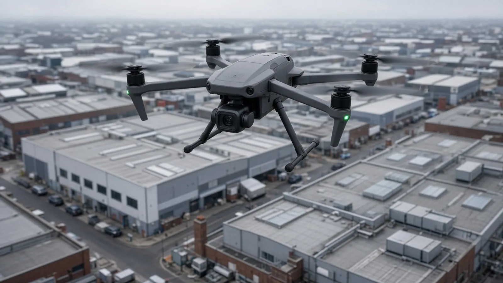
A drone survey is a way of measuring from the air when the ground is the wrong place to stand. Quarries, live logistics yards, long corridors and roofs that nobody should walk are the usual reasons UK teams ask for one. We treat the flight as one instrument among others, sitting beside the topographical survey rather than replacing it.
Where aerial mapping earns the fee
Photogrammetry is fast on open hectares. It is also honest about texture: a stockpile, a scrap yard or a half-built podium has a shape that a handful of spot levels will never describe. From a single sortie we can produce an orthophoto that planners actually recognise and a dense surface that earthworks teams can volume. That is useful on Birmingham clearance sites and on riverside shelves along the Clyde where walking every contour would take a week and still miss the unsafe edge.
It is less useful in a two-metre-wide London side return. Vegetation hides ground. Overhangs hide walls. If the thing you care about is a fence line between two gardens, a walking survey with a pole is still the grown-up tool. We will say that in the quote instead of flying for the sake of a photograph.
Control first, aircraft second
Uncontrolled drone data looks convincing and sits in the wrong place. We set ground control from GNSS and total station so the model locks to OSGB36 and the same datum as the rest of your package. That is how an aerial block and a later measured building survey agree at the eaves. Ordnance Survey grid and OS Net are the national reference; we do not invent a private “drone coordinate system” and hope the civil engineer can guess.
Check points that were not used to register the model tell us whether the surface is telling the truth. If the residual is ugly, we recapture or we fall back to optical work. A pretty mesh that is 80 millimetres adrift is not a deliverable.
Rules, neighbours and weather
UK flights sit under Civil Aviation Authority rules that apply to the specific operation, airspace and aircraft. We do not print invented operator IDs, GVC numbers or insurance certificates on a marketing page. If a site is inside restricted airspace, next to a hospital helipad, or simply too tight to take off without hovering over a school playground, the honest answer is to stay on the ground.
Privacy is not a footnote in a terraced street. We brief the flight so that the camera is on the site you instructed, not the neighbour’s bathroom window, and we will refuse a brief that is really surveillance. Wind, rain and low cloud cancel more UK sorties than any regulation. The programme should assume a weather window, not a Thursday at 9am whatever the sky is doing.
What comes out of the office
Most clients want three things: an orthophoto they can drop under a planning layout, a point cloud or mesh for volume and visualisation, and a CAD or GIS extract of breaklines that matches the deliverables they already specified for the topo. Some also want a fly-through. That is a presentation product, not a design file, and we price it separately so it does not pretend to be a drawing.
Combined packages are common. A drone block for the field, a walking topo for the legal edges, a boundary overlay where title is in dispute. The value is one control network, not three pretty folders.
When we will talk you out of it
If the site is a single dwelling with a direct path to every fence, a drone adds cost and risk for little extra truth. If the vegetation is a closed canopy, the model will invent a ground that is actually bramble. If you need invert levels inside chambers, the aircraft cannot see them. Those jobs belong with a person, a staff and a notebook — and, where relevant, with the planning context on the Planning Portal.
A morning in the air, a day on the ground
The flight is the visible hour. The quieter work is marking control, walking the edges the camera will flatter, and processing a model that a civil engineer can volume without discovering a two-metre “cliff” that is actually a parked van. We budget for that quieter work in the fee. A cheap sortie with no control is how people buy a poster.
Outputs should be named before take-off. Orthophoto resolution, whether you want a digital surface or a bare-earth attempt, which breaklines must be drawn in CAD, and whether the PDF is a pretty picture or a scaled sheet. If your architect only opens DWG, do not let the only deliverable be a four-gigabyte cloud that nobody indexed.
Live sites need a method that does not shut a yard for the sake of a photograph. We will fly in a window, or we will wait. We will not hover over a school home-time because the light was pretty. If the only safe take-off is on land you do not control, the brief is not ready.
How this sits with the rest of the package
Aerial mapping is a layer. The legal edges, the invert you cannot see, and the room behind a locked door still belong to people on foot. Keep the topo, the boundary and the building products in the conversation so the drone does not become the only sentence on the purchase order.
Read when to commission a drone survey if you are still choosing, then send the postcode, a note about airspace neighbours, and whether the ground is actually visible through the canopy. We would rather decline a flight than deliver a surface nobody should set out from.
How this product sits next to the others
Aerial mapping is a layer on a topo, not a replacement for walking the legal edges. Roofs that will later meet a building survey must share control. A pretty orthophoto is not a title plan.
If you are still choosing, the journal note on commissioning a drone is the slower version of this page. Then send the postcode and the thing you cannot walk.
What a UK aerial brief should contain
The site address and a sentence about what you cannot walk. Whether the ground is visible or under canopy. Nearby schools, hospitals, helipads or prisons. Whether the occupier can close a yard for twenty minutes. Whether you need volumes, an orthophoto, breaklines, or all three. Whether a walking topo of the legal edges is in the same instruction. Whether a later building survey must meet the eaves.
Also say if anyone has already flown the site with a camera drone and a hope. We would rather start from control than pretend we can “just register” a folder of holiday photographs. Civil Aviation Authority rules apply to the operation we actually fly, not to a paragraph on a website. We will cancel for wind. We will cancel for a crowd we did not expect. That is not a failure of service. That is the service.
City pages for London and Birmingham describe the urban version of this conversation. Rural quarries and coastal shelves have their own neighbours. Name them.
Questions we hear first
Is a drone enough on its own?
Almost never for a planning or legal drawing. Aerial mapping is strongest when it is registered to ground control and checked against features a surveyor has walked.
Can you fly in a city centre?
Sometimes. Airspace, privacy, and the space to take off matter as much as the weather. We will say no if the site is not a lawful or safe flight.
What do we receive?
Usually an orthophoto, a point cloud or mesh, and a CAD or GIS extract that matches the rest of the survey package.