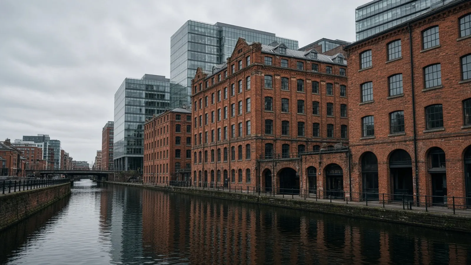
Manchester’s current building boom sits on an older one. Brick mills, canal walls and railway viaducts are not decorative backdrops; they are the levels a new podium has to meet. A topographical survey here is often a story about water, historic floor plates and a street that has been raised more than once.
Two official places we actually name
Manchester City Council is the planning authority for the core city. Its validation habits and conservation conversations are why a thin site plan still fails, even when the visuals are glossy. We measure so that an officer who walks Deansgate or Ancoats sees the same steps, cellar lights and canal coping that the drawing claims.
Immediately west, Salford City Council governs a different but tightly bound set of waterfront and neighbourhood sites — from MediaCity-adjacent land to older terraces that still shed toward the Irwell. Naming Salford matters because a “Manchester” quote that ignores a Salford postcode is the wrong civic body, the wrong local list and sometimes the wrong conversation about flood risk.
Regeneration is a site type, not a trophy
We do not publish invented mill conversions with client logos. We do quote the type: a canal-side floor that is becoming apartments, a cleared deck-access plate, a city-centre gap site between a listed warehouse and a glass hotel. Those jobs usually want a topo, a measured building survey, and sometimes a drone block for a roof or a yard that is still in use.
Levels decide whether a new ground floor meets a historic loading dock or leaves a ramp that nobody drew. Drainage decides whether a courtyard becomes a pond. If the design team will later talk SuDS, read levels and drainage before you under-specify contours.
Title on assembled plots
Regeneration land is often several titles pretending to be one red line. A title overlay and, where neighbours are already writing letters, a boundary survey stop the architect designing a wall that belongs to someone else. HM Land Registry official copies are the input; occupation is the thing we measure.
How the city changes the kit
Street canyons around the commercial core are unkind to GNSS. Viaducts hide sky. Canals hide edges you should not stand on. We mix optical work, careful control and, where lawful, aerial capture. Deliverables stay on the national grid that Ordnance Survey maintains, because that is what Greater Manchester engineers already overlay on their own mapping.
Applications still travel through the Planning Portal for many English submissions. A current survey is the part of the pack that does not age well if you reuse a 2014 drawing and hope nobody notices the new substation.
Canals, viaducts and the wet facts
A canal coping is a level, a boundary and sometimes a right of way argument in a single stone line. We will measure what we can occupy. We will not invent a station on a towpath we have not been told we may use. Viaducts steal GNSS sky and hide yards that still take deliveries at 5am. Tell us the quiet hour.
Flood memory is part of how Greater Manchester talks about land. We are not a flood-risk consultant. We do give a civil engineer a surface that is not a guess, which is the part of a SuDS conversation a surveyor can honestly own. If the last drawing predates a courtyard that has been raised, it is a historical document.
City centre versus the boroughs
Deansgate infill and a garden in Chorlton are both Manchester searches and almost unrelated briefs. The first is about occupation in a canyon and a podium that has to meet three different historic levels. The second is about trees, a neighbour’s ridge and a planning officer who will walk the street. We will not price them as the same day.
Nearby city pages — Leeds and Birmingham — have similar industrial bones and different civic habits. If you are briefing both land and fabric, combining the two surveys is the useful note. Then send the postcode and whether the canal wall is yours to stand on.
Related products in Greater Manchester
Regeneration plots usually want land, fabric and sometimes a drone roof in one control job. Householder plots in the boroughs usually want a tight topo and the neighbour’s eaves. Title assemblies want an overlay against HM Land Registry official copies, not a brochure red line.
Canal-side work needs a sentence about who may stand on the coping. City-centre work needs a sentence about deliveries at dawn. Neither is a reason to invent a case study. Both are reasons to tell the truth in the quote.
Compare Leeds if the hillside-and-river combination is the sibling, or Birmingham if the basin-and-warehouse combination is closer. Then send the postcode and whether Salford or Manchester will read the application.
A Manchester briefing we can actually price
Say whether the site is a canal-side mill, a city-centre gap or a suburban garden. Say whether Manchester or Salford will read the application. Say whether the yard still takes deliveries at dawn. Say whether title is one red line or five. That is the difference between a tidy topo and a week of overlays.
Regeneration is a site type. It is not a trophy. We will date the survey and we will recommend an update if the podium is still being invented. Flood memory belongs in the civil engineer’s scope; existing levels belong in ours. Send the postcode and whether the coping is yours to stand on.
Questions we hear first
Do you cover Salford and the wider city region?
Yes. The page is named Manchester because that is how most people search. The same desk quotes Salford, Trafford and the rest of Greater Manchester.
Can you survey a mill that is still partly occupied?
Yes, with a room-by-room method and a clear list of spaces we could not enter. We do not invent floor plates behind locked doors.