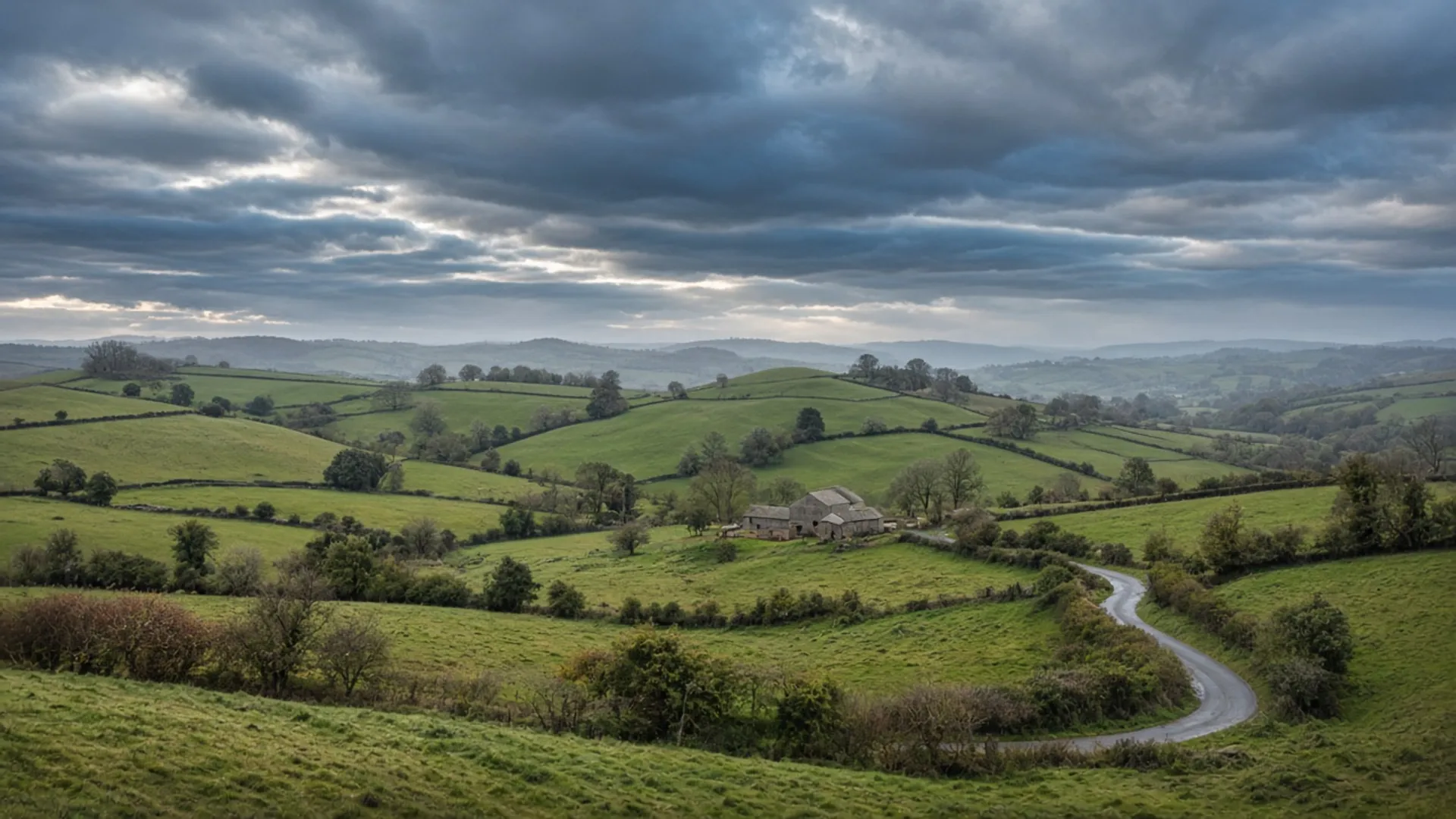
Topographical Surveyors UK · United Kingdom
Land and site surveys across the UK
We measure the ground that planning, design and title work sit on: levels, features, occupation and the buildings that join them. Send a postcode and we will tell you what the site actually needs.
- Levels, features and occupation
- GPS, total station and drone
- CAD, GIS, PDF and 3D
- Planning and title support
Request a site quote
Send the postcode and a short brief. We reply with scope, programme and a fixed fee where the site allows.
Why the first drawing matters
A topographical survey is the measured map of a piece of British land
Before an architect places a wing, a drainage engineer sets an invert, or a planning officer reads a street scene, someone has to say where the ground really is. A topographical survey does that job. It is not a sketch and it is not a downloaded contour. It is a controlled measurement of levels, visible features and occupation, drawn so that other people can design from it without guessing.
On a typical UK plot that means ridge and eaves heights as well as spot levels, the line of a hedge as well as a fence, the cover of a manhole as well as the camber of a lane. Trees are positioned with canopy spreads where the brief asks for them. Buildings are shown in enough outline that a later measured building survey can lock to the same control instead of floating in its own private grid.
We work from a UK desk and travel to the site you name. The contact number and inbox on this site are temporary placeholders — they are marked as such in the contact page and the footer — but the enquiry form is live and stores the brief so a surveyor can reply.
Clients come to this work for different reasons. A householder in a London borough may need levels for a rear extension that sits close to a neighbour. A promoter in the Manchester regeneration belt may need a hectare of former mill land drawn before a masterplan. A contractor on the Leeds city region may simply need an up-to-date survey because the last drawing is eight years old and the car park has moved.
None of those examples is a named case study. They are the sorts of British environments we price every week: tight urban yards, canal-side regeneration, hillside drainage, and civic waterfronts. The method stays the same even when the postcode changes.
If you already know the output you need, jump to CAD, GIS and PDF. If the question is legal rather than design-led, start with boundary surveys or Land Registry plans.
Services we price from a postcode
Most instructions begin as a topographical survey and then pick up a sister task: a drone block for the parts you cannot safely walk, a floor-plan set for the building you intend to alter, or a title overlay for the solicitor. We keep those packages on one control network so the files agree.
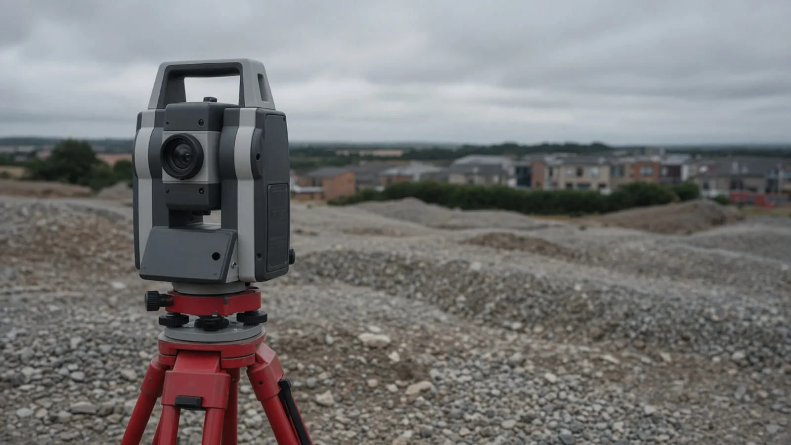
Topographical surveys
Measured site plans showing levels, boundaries and visible features — the drawing most UK planning and design teams start from.

Drone surveys
Photogrammetry and aerial mapping for large, live or hard-to-reach sites, tied into the same control as a ground topo.
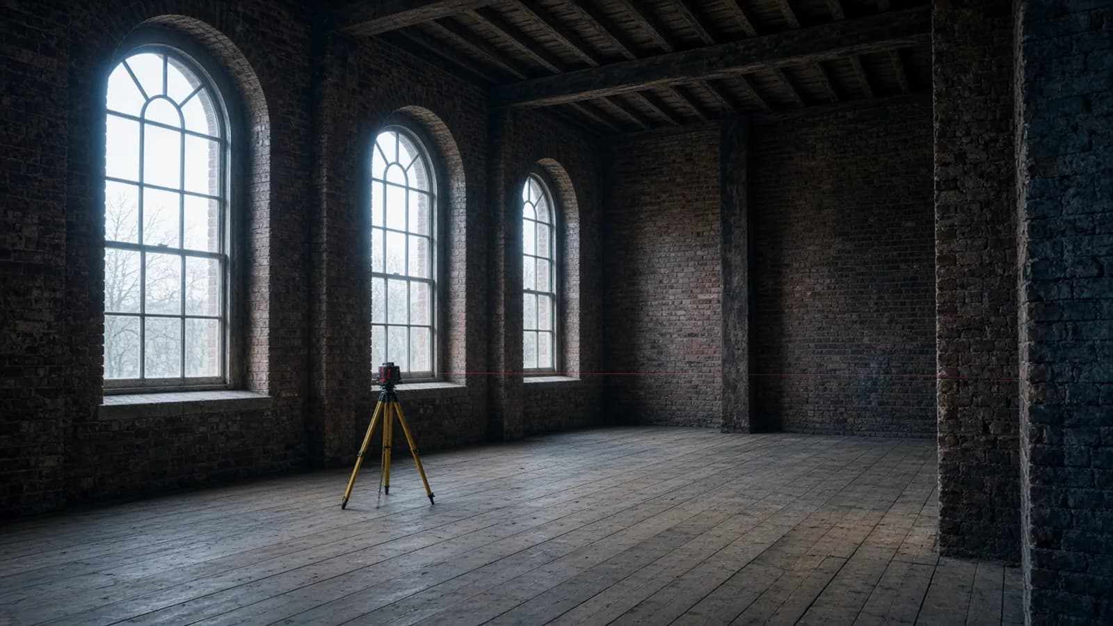
Measured building surveys
Floor plans, elevations and sections that sit cleanly on a topographical base for extensions, conversions and refurbishment.
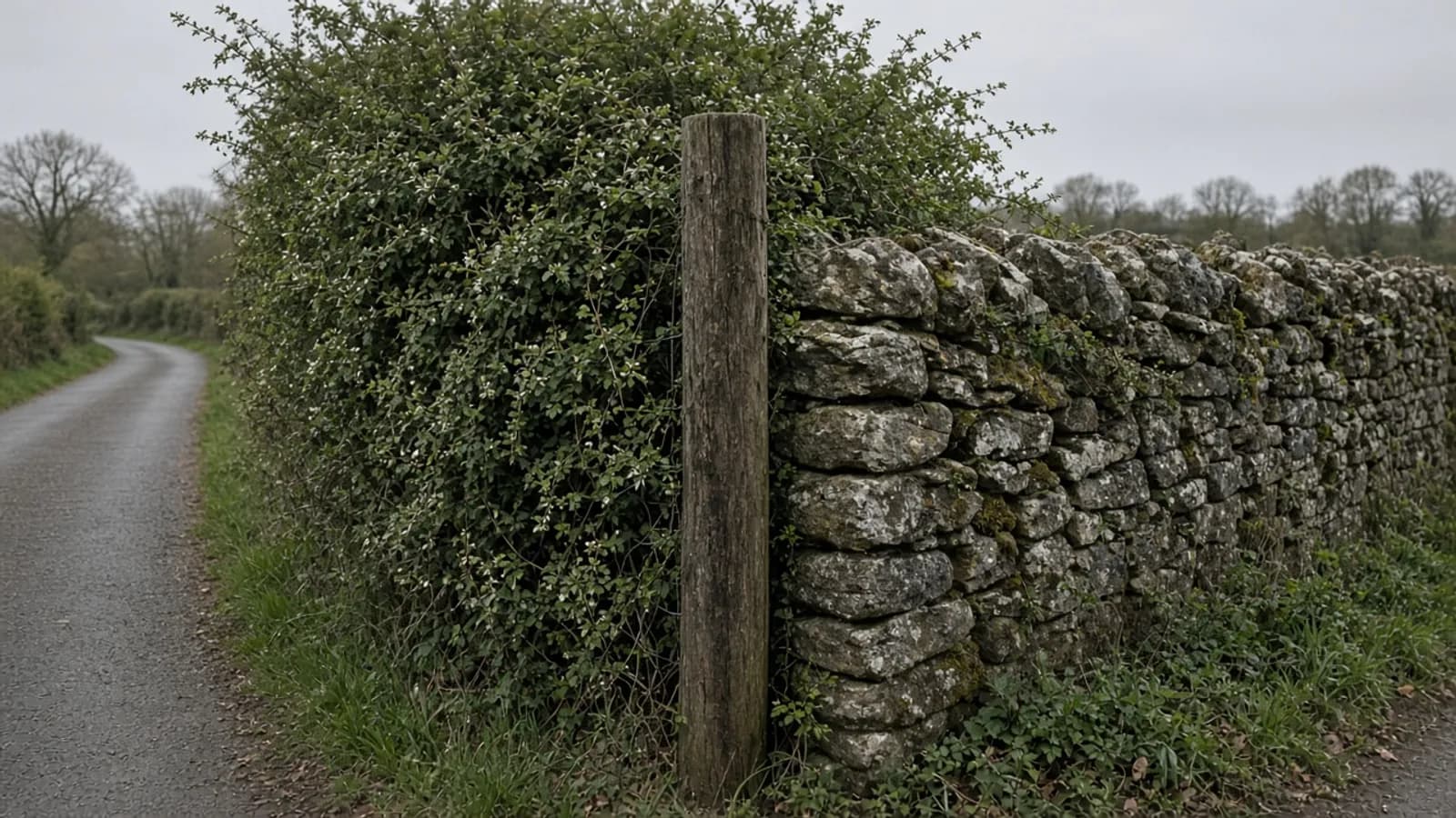
Boundary surveys
Independent mapping of occupation, features and title geometry to support neighbours, solicitors and design teams.
Land Registry plans
Survey drawings that help first registrations, transfers and lease plans sit more comfortably against HM Land Registry practice.

CAD, GIS and PDF
OS-referenced CAD, GIS layers, scaled PDFs and 3D terrain models formatted for architects, engineers and asset teams.
Levels, boundaries and the features people trip over
Bad levels write themselves into foundations. A 150 millimetre error at the back of a terrace can put a finished floor above a neighbour’s damp course or leave a patio that drains toward the kitchen door. We capture spot heights at a density that matches the brief — tighter on a constrained London garden, more open on a paddock — and we show enough contours that a designer can see the fall without interpolating from three lonely points.
Boundaries cause a different kind of delay. Occupation is not the same as title, and a hedge that has crept a metre in twenty years will not announce itself on a desktop download. Our boundary surveys record what is on the ground and, where you ask, overlay the HM Land Registry geometry so the conversation is about evidence rather than memory. We do not pretend a surveyor can “fix” a legal boundary on a website form.
Missed features are the third common failure. A low voltage cabinet, a tree with a protection radius, a dropped kerb that actually belongs to the neighbour — each of those can stall a planning drawing. We walk the site with a feature code list agreed in the quote, and we tell you if vegetation or locked gates will leave a hole in the survey.
Planning authorities are not sentimental about thin site plans. The Planning Portal is the national front door for many applications in England and Wales; local validation lists still expect a scaled drawing that shows the building in its plot. A current topo is the cheapest way to stop a validation officer sending the pack back.
GPS, total stations and drones on the same job
Fieldwork is a mix of tools, not a brand promise. On open land we use GNSS receivers working to the national system that Ordnance Survey maintains through OS Net, so the drawing sits on OSGB36 and Ordnance Datum Newlyn unless you specify otherwise. Between tall façades or under heavy canopy the sky view collapses, so a total station carries the control through the site from stations we can see.
Where a site is large, live or simply unpleasant to traverse, a drone survey can collect a dense point model in a morning. Aerial mapping is not a replacement for walking the boundaries. It is a way to measure roofs, stockpiles and unsafe margins once ground control is in place. Flights follow the UK rules that apply to that operation; we do not list invented operator numbers on this site.
After the visit, raw observations become drawings. Architects receive CAD. Asset and highways teams often want GIS. Landowners and solicitors still ask for a stamped PDF they can forward without specialist software. Larger earthworks jobs add a 3D terrain model. The deliverables page sets out the formats; the quote confirms which ones you are buying.
We prepare surveys with published RICS practice on measured surveys of land and buildings in mind. That is a statement about method, not a claim of membership, charter or a licence we have not shown you.
British site types, not invented case studies
Geography changes the brief even when the instrument kit does not. These are the environments we write quotes for — descriptions of place, not photographs of a named job.
London borough planning plots
Rear gardens, mews yards and riverside scraps where every metre of fall and every party wall is argued over in a design and access statement.
Manchester regeneration sites
Canal-side mills, deck-access clearances and city-centre infill where historic floor plates meet new podium levels.
Leeds city region
South Bank plots, hillside suburbs and former industrial shelves that still shed water toward the Aire.
Glasgow Clyde corridor
Quay walls, sandstone tenement backs and west-of-Scotland slopes where GNSS and optical work have to share the day.
Cardiff Bay and civic waterfront
Reclaimed margins, inner-harbour edges and neighbourhood streets that sit only a short level change from the Taff.
Birmingham growth and rail-adjacent land
Digbeth yards and plots that live with the West Midlands rail programme around them — vibration, hoardings and shifting access.
United Kingdom coverage
We price work anywhere in the UK. The map is a country overview, not a claim that a field office sits on every high street. Open a city page for local planning context and two official places we actually name.
Questions before you send a brief
What does a topographical survey actually show?
A typical UK topo records ground levels, visible boundaries and occupation, buildings, trees, access, and surface evidence of drainage. The brief sets the contour interval and how far beyond the red line we measure.
Do you work outside the six city pages?
Yes. The city pages are examples of how we work in dense urban markets. The same methods apply across England, Scotland and Wales.
Which outputs do architects usually ask for?
A 2D CAD drawing on OSGB36 with a matching PDF is the usual starting point. Many teams also want a terrain model or GIS extract. See our CAD and GIS page for formats.
Can a topo support a Land Registry plan?
It can sit underneath a title overlay and show occupation, but a title plan is not a definitive boundary. We keep those jobs on a separate, carefully worded brief.
What happens after you send a postcode
We read the brief for purpose before we talk about price. A householder who needs a planning base for a side return is buying a different density of levels than a contractor who needs a terrain model for cut-and-fill. We will say which product you are actually buying — a walking topo, a drone block, a building set, or a legal sheet — so the fee is attached to a scope rather than a hopeful adjective.
Access and vegetation come next. A locked mews arch in London, a live mill yard in Manchester, a quay operation on the Clyde: each of those changes the programme more than the instrument kit does. We would rather move a date than invent a station on land we cannot occupy. If the site is mid-demolition, expect a targeted update rather than a promise that Thursday’s drawing will outlive Friday’s excavator.
Files leave as CAD and PDF unless you named GIS or a 3D surface in the quote. Revisions are for things that were in the brief and missed, not for a new storey you added after we packed the van. If you already have a drawing that is “nearly right”, send it anyway — outdated information is one of the problems a new survey is meant to retire.
For a slower read, the journal covers what belongs on a topo, how GNSS and total stations share a site, and how to prepare a visit. The legal pages state the obvious limits: we measure; we do not determine ownership from a web form; the phone and inbox in the footer are temporary until the live number is confirmed.
A national product with local manners
The instrument kit does not change at a county boundary. The manners do. A London mews, a Manchester mill, a Birmingham basin, a Leeds hillside, a Glasgow close and a Cardiff Bay podium all need levels, occupation and a file someone can open. They do not need the same sentence about title, the same contour interval or the same assumption about parking. That is why the city pages exist, and why this homepage refuses to pretend a single hero photograph is a case study.
If you already know the product, use the form. If you do not, write the planning stage and the thing you are afraid of — a neighbour, a flood, a ridge, a registry delay — and we will name the survey. Temporary phone and email are in the footer on purpose, so nobody treats them as historic letterhead.
Need levels, a title overlay or a combined building package?
Send a postcode and we will tell you whether a ground topo, drone flight or measured building visit is the right first step.