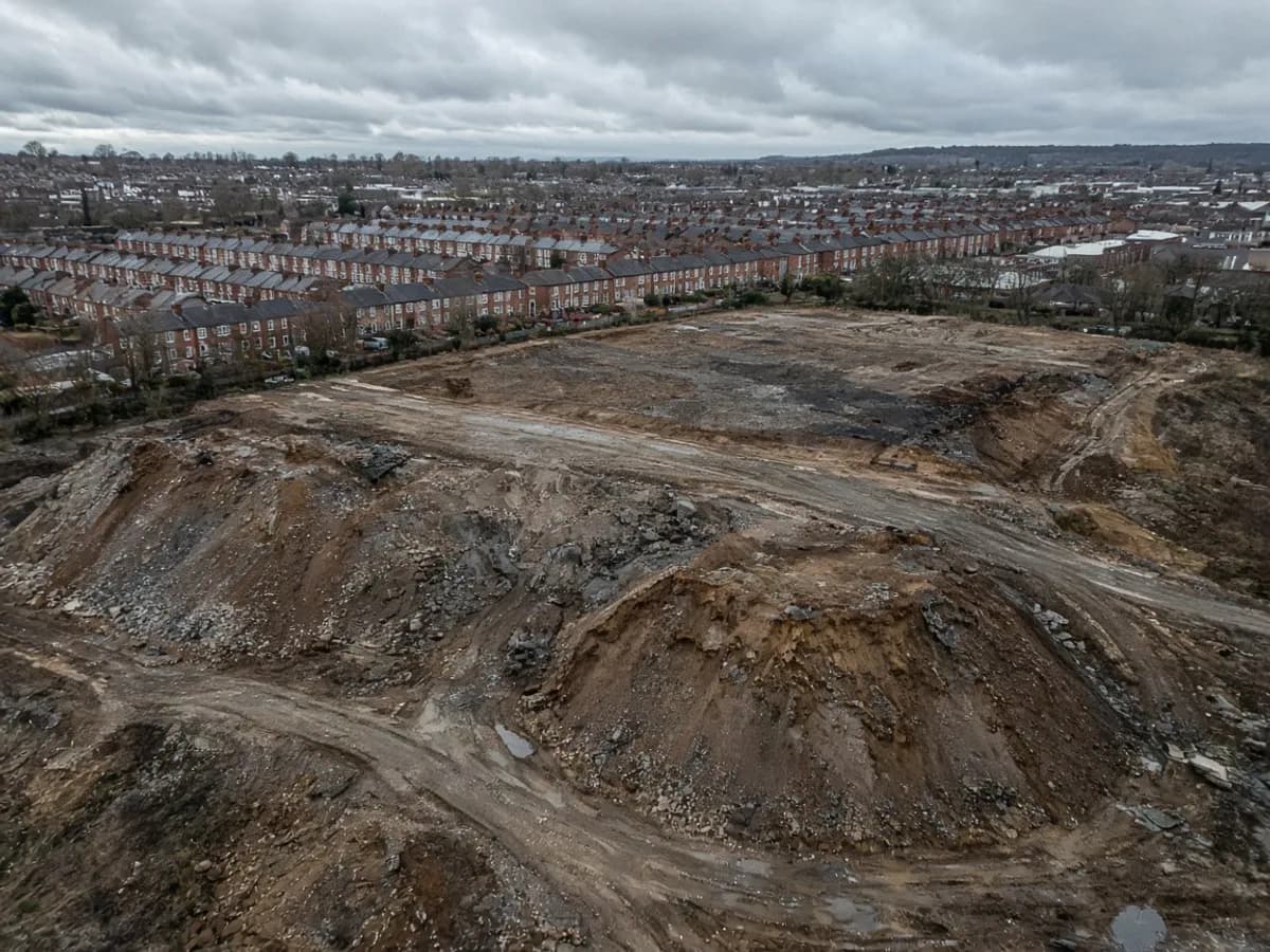
A topographical survey is easy to under-specify. People ask for “a topo” as if that were a single supermarket product, then discover the drawing has no invert levels, no canopy spreads and a contour interval that treats a two-metre garden fall as a rumour. This note is a briefing list for UK sites, not a menu we will force on a paddock.
The land, not the marketing plan
Start with what the ground is doing. Spot heights at a density that matches the brief; contours that a designer can read without interpolating from three lonely points; breaklines along kerbs, walls and the top and bottom of banks. On a London terrace that may be a two-metre grid. On a hillside outside Leeds it may be tighter on the slope and calmer on the plateau.
Then occupation. Fences, walls, hedges — and a note of whether we measured a face, a centre or a post line. Buildings in enough outline that a later building survey can lock to the same control. Access: dropped kerbs, gates, the grim little path that is the only lawful way in.
Features that stall planning
Trees belong on the drawing if anyone will mention them in a design and access statement. We are not issuing an arboricultural report from this article; we will position stems and canopies so that report has somewhere honest to sit. Surface water evidence — channels, ditches, the side of the yard that is always wet — belongs too, especially if a civil engineer will later write about SuDS. Read levels and drainage if that is the real reason you are buying the survey.
Visible manholes, valve covers and cabinets are topo features. Buried utilities are not, unless you have commissioned detection. Mixing those two sentences in a quote is how people think they bought a PAS-style utility sheet when they bought a land plan.
How far beyond the red line
A planning officer looks at context. A neighbour’s eaves, a street tree, the camber of the lane — all of that sits outside a title download and inside a useful topographical survey. Agree the corridor in the quote. It is cheaper than a return visit after the Planning Portal pack comes back with a question.
If the red line itself is the argument, you want a boundary survey or a title overlay as well. Occupation and HM Land Registry geometry are related; they are not synonyms.
What to write in the brief
Purpose (planning, earthworks, legal, all three). Contour interval. Whether trees are a line or a canopy. Whether you need a 3D surface. Whether a drone would actually see the ground. The file formats your architect can open. That is enough for a UK surveyor to price the visit instead of guessing.
A worked list you can paste into a quote request
Purpose: planning base / earthworks / legal overlay / mixed. Grid: OSGB36 unless you have a reason. Datum: Ordnance Datum Newlyn unless the site already lives on a local system you must match. Contour interval: state a number. Trees: stems only, or stems and canopies. Drainage: covers only, or covers and inverts. Context beyond the red line: say how many metres. Buildings: outline only, or a full fabric survey on the same control. Aerial: yes, no, or only if the ground is visible. Files: DWG + PDF as a minimum; GIS or 3D if someone in the room can open them.
That list is not a trap. It is how a UK surveyor stops guessing. If you leave every line blank we will price a cautious mid-spec and tell you what we assumed. If you later add inverts and a drone block, that is a variation, not a moral failing — just do it before the van is packed.
Things that look like a topo and are not
A downloaded contour, a drone fly-through with no control, an estate-agent floor plan with a garden sketched on, a title PNG zoomed until it looks like a wall. Each of those has a use. None of them is a topographical survey you should set out from. The Ordnance Survey products that sit under national mapping are excellent at being national mapping. They are not a substitute for the hedge that moved last winter on your plot.
Utility detection is the other frequent mix-up. A land survey records lids. It does not classify a buried cable. If you need both, say both. If you only need lids, do not pay for a detection theatre you will not use.
A last pass before you hit send
Read your own email as if you were pricing it. If you cannot tell whether this is planning, earthworks or law, neither can we. If you cannot tell how far beyond the red line matters, a validation officer will decide for you later at more cost. If you cannot tell whether trees are a line or a canopy, someone will argue about a circle. The product page is the priced version of this article. Planning Portal packs still expect a site that exists.
If you want the product rather than the essay, start at topographical surveys or the contact form. The phone and inbox on this site are temporary; the brief you type is the reliable object.