Fieldwork is wasted if Monday’s design meeting cannot open the file. This is a plain guide to the four outputs UK teams actually ask for, and which one is the wrong hero for your job.
CAD is the working drawing
Architects and most civil engineers still live in DWG. A survey CAD file should sit on OSGB36, insert cleanly, and carry a legend that matches the quote. Units and insertion point are not personality. A drawing that appears in the North Sea is a failed delivery, even if the levels were beautiful.
Send your layer standard before we draw. Retrofitting a house style onto a finished file is how “almost right” layers are born. Published RICS measured-survey practice assumes someone else will reuse the file; we draw as if that is true.
GIS is for people who keep land
Councils, utilities and estate managers want attributes that survive a decade. Shapefile or geopackage, with feature codes and levels, overlaid on the mapping Ordnance Survey already sold them. If you do not have a GIS stack, do not buy one for a house extension.
PDF is the circulating object
Solicitors, planning officers and clients who do not run CAD need a scaled PDF with a north point that is not decorative. If it is going near the Planning Portal, file size matters. Paper is optional and heavier.
3D is a surface, not a film
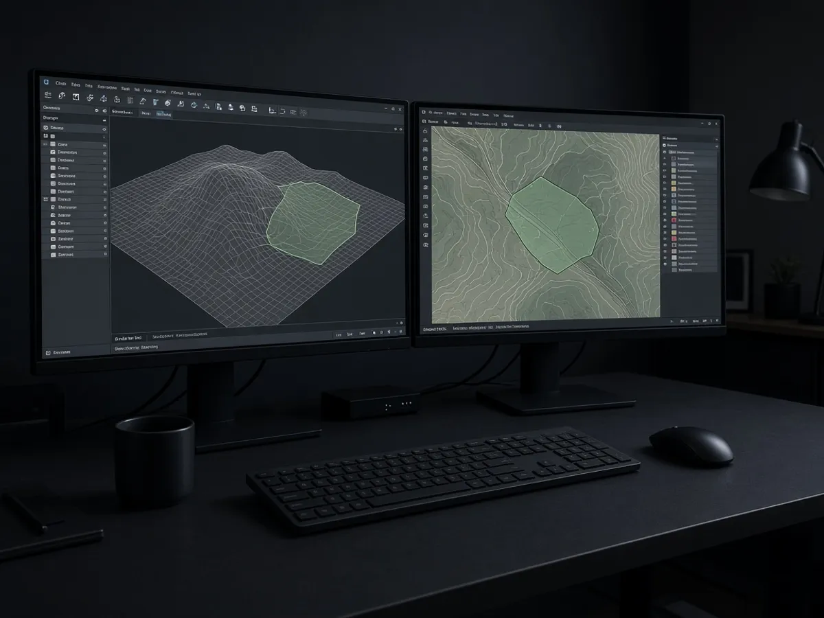
Terrain models earn their keep on cut-and-fill and SuDS — a Leeds hillside, a Bay podium. Point clouds from a scanner or drone are for interrogation. A fly-through is a presentation. Do not let the presentation become the only file anyone saved.
Title and boundary narratives should be separate sheets or clearly named layers. Mixing a legal story into an anonymous design file is how the wrong PDF gets issued to a contractor. See title plans and boundaries if that is the real product.
A short decision table in prose
Architect, week-to-week: DWG + PDF. Civil earthworks: DWG + terrain model. Asset owner with a stack: GIS with attributes. Solicitor: PDF, maybe a simple CAD if they have learned to open it. Planning upload: a lean PDF that is still legible at A3. Marketing deck: a picture you must not set out from.
If two of those people share a project, buy two outputs. Do not force the solicitor to open a geopackage. Do not force the GIS team to redraw from a flattened PDF. The deliverables page is the product version of this paragraph.
Versioning and the next consultant
Issue letters exist so that “the topo” is a dated object. When we send a revision, say what changed. When you send our file to a landscape architect, send the transmittal too. National mapping updates from Ordnance Survey will not automatically update your private survey; that is the point of commissioning one.
If you are unsure, send three sentences: who opens CAD, who opens GIS, who only forwards PDF. We can price from that. It is a better brief than “send everything”.
A last pass before you hit send
Name the people and the software. Buy the files they can open. Keep legal stories off design sheets. Keep fly-throughs off setting-out folders. A clean deliverable is dated, insertable and honest about what it is not.
If you want the product rather than the essay, start at topographical surveys or the contact form. The phone and inbox on this site are temporary; the brief you type is the reliable object.